Castlegar, and the West Kootenay region in general, isn’t your typical place when it comes to water levels and safety. In fact, the height of our local rivers can change hourly and so it’s important to know some basic information before you get on the water. In a recent post by local paddling and guiding company Endless Adventure, three main factors are listed in terms of how water levels are affected in Castlegar and they include seasonal fluctuations, weather impact, and, unique to our area, hydroelectric dam activity.
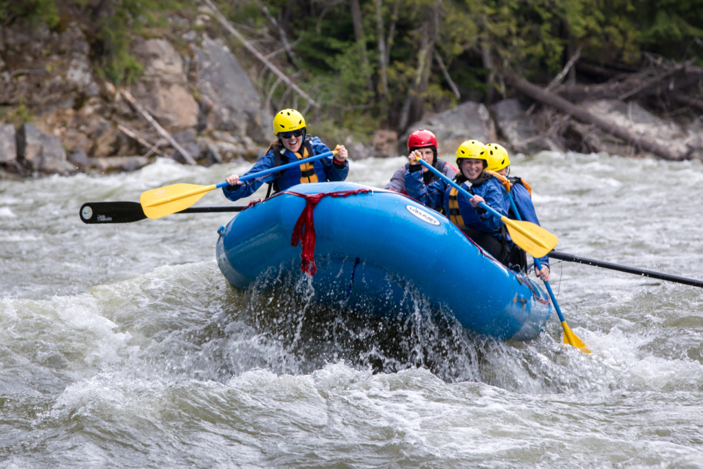
Before we aggregate some of the content in the Endless Adventure story, which can be found here, let’s review some overall safety tips related to paddling in and around Castlegar, whether on a pond, lake, or river.
Always pack the following before you go paddling:
- Canadian-certified lifejacket. (A leash is not an alternative to a lifejacket and you could be fined for not wearing one.)
- Buoyant heaving line that’s a minimum of 15 metres (50 feet) long
- Whistle or another sound signally device
And always remember the following safety considerations:
- Paddle with a friend
- Tread lightly on the loose rocks, wear proper footwear
- Know your gear
- Know your skills
- Stay away from logs and other debris
- Bring water and a dry bag with a first aid kit, snack and a warm layer
For more about paddling safety in the region, visit our article “Tips on Paddling Safely in Castlegar.”
In addition to the above points, it’s important to know where water levels are at, which is why Endless Adventure wrote the story about the topic. As it details, it’s a good idea to start each journey by referring to different sources such as a paddling expert (such as the ones found at Endless Adventure); an app like RiverApp or the Paddling Maps, and BC Hydro’s Meteorological Data site. This latter is very important because it’s “the biggest factor that impacts water levels in the West Kootenay region on a day-to-day basis throughout the year,” reads the Endless Adventure article. “There are over ten of them on the Columbia and Kootenay Rivers in this area north of the American border and each plays a role in how much water is allowed to flow at any given time based on power usage and trade agreements between Canada and the US.”
The story goes on to say that annual trends can be expected, such as in March when the level of the Columbia River is intentionally kept low until the Kootenay River runs its course during freshet. But other waterways can be wildcards, which is why it’s important to check regularly.
To learn more about seasonal and weather impacts on our local waterways, read the Endless Adventure article here.